
Contact Seller
Shupe Farms Irrigation +/- 1,180 Acres in Pratt County
Description
Property Information
Property Location: Three miles north of Iuka, Kansas, on Highway 281 and four miles north then 1 mile east of Iuka, Kansas, off Highway 281.
Legal Description:
E2 OF SECTION 16 TOWNSHIP 26 RANGE 13: 306.5 Acres
E2 OF NW4 OF SECTION 11 TOWNSHIP 26 RANGE 13: 78.3 Acres
NE4 & S2 OF SECTION 11 TOWNSHIP 26 RANGE 13: 475.4 Acres
E2 SECTION 14 TOWNSHIP 26 RANGE 13 (minus homestead): 312.0 Acres
E OF SW/C SE4, SECTION 14 TOWNSHIP 26 RANGE 13 (homestead): 3.2 Acres
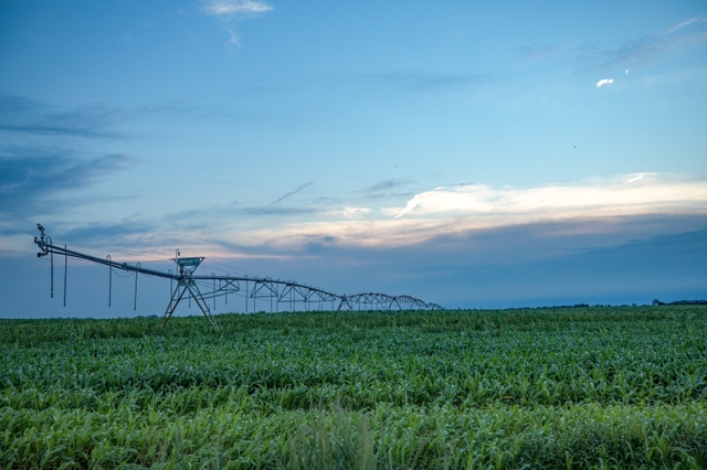
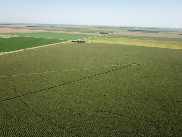
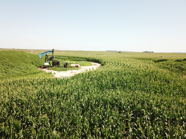
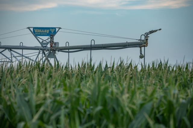
Land Description: Here is a rare opportunity to purchase +/-1,180 acres of premium irrigated farmland in Central Kansas with high priority water rights. The property consists of 7½ irrigated circles with gas powered wells running 8 center pivots. Seller's own 100% royalty interest from 2 producing wells on the property. 100% of Seller’s mineral interest transfer to the Buyer at closing.
Home Description: A single story brick home sits on the 3.2 acres along with a large quonset shed which is all selling “as is”. The home was built in 1976 and consists of 4 bedrooms and 4 bathrooms with 2,119 square feet of living space. Partially completed basement. Utilities include well water, septic system, and gas.
2019 Real Estate Taxes: $34,744.73
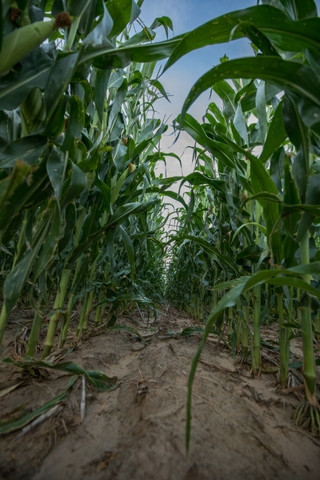
Corn: Average 210 Bushels Per Acre. All corn harvested has been taken to the local ethanol plant, Scouler, just a few miles east of the farm. The property is located between a well established feedlot and Scouler's ethanol plant.
Irrigation Equipment: Irrigation is fueled by natural gas that runs underground to all the properties.
454 Irrigation engine: 2013
454 Irrigation engine: 2014
454 Irrigation engine: 2016
(2) New sprinklers: 2010
Irrigation pump: 2018
Well # 8 Pump: 2000
Well: 1997
Valley Irrigation System: 1995
Valley Pivot: 1995
Valley 7 Tower Sprinkler: 2006
Valley 8 Tower Sprinkler: 2009
Replacement well: 1995
New Well: 2004
Spray Bar: 2013
___________________________________________________________________
Well Information:
Field # Priority Date Water Right # GPM Max AF Well Depth Static Water
1. 7-30-71 18331 850 195 AF 138’ 32’
2 7-30-71 18331 790 195 AF 150’ 20’
3 11-22-71 18592 940 198 AF 131’ 26’
4 5-3-72 19360 835 195 AF 137’ 28’
5 11-22-71 18592 1000 198 AF 136’ 27’
6 3-24-67 13046 910 477 AF 138’ 27’
__________________________________________________________________
Soils: See Map in Photos
Saltcreek and Naron Fine Sandy Loams 1 to 3 percent slopes - 110.8 Acres
Hayes Loamy Fine Sand 5 to 10 percent slopes - 145 Acres
Solvay Loamy Fine Sand 0 to 2 percent slopes - 308.1 Acres
Hayes Fine Sandy Loam 1 to 5 percent slopes - 535.4 Acres
Hayes-Solvay Loamy Fine Sands 0 to 5 percent slopes - 61.2 Acres
Langton Fine Sand 0 to 15 percent slopes - 13.2 Acres
For more detailed financial information or qualified showing, please contact J.C. Bosch at 620-282-9572 or email jc@haydenoutdoors.com. Co-Brokers welcome.