
Contact Seller

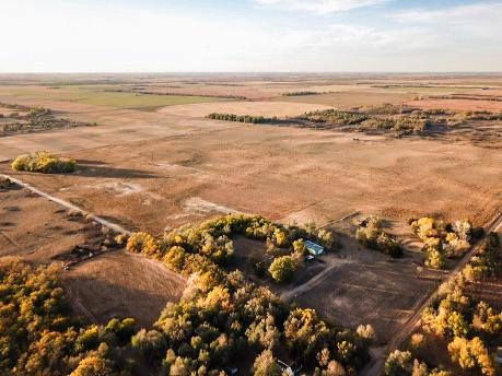

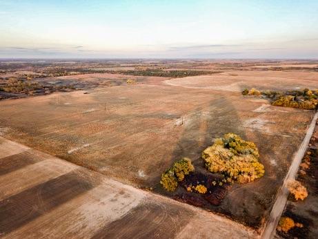
147 Acres-Stafford County Cropland and Oil
Description
Location: Located in Stafford County, 8 miles south of St. John, KS, and two miles west of Kansas Highway 281.
Legal Description: SE4 of S07, T25, R13, Acres 147+/- in Stafford County
Closest Town: St. John
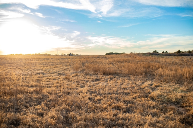
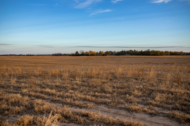
Land
Multiple rubs and scrapes were noticed while walking the property, and it is not uncommon to see deer visiting the property on a regular basis. This tract also includes an active producing oil well located on the northern end of the property. Seller’s mineral rights shall transfer to Buyer at closing. It is believed that Seller owns 50% of the mineral rights. See the trail camera photos with just a few days worth of photos. This area is well known for producing some of the biggest white-tailed deer in the state. With +/- 144 acres of tillable farm ground, coupled with a producing oil well, a buyer can have a nice ROI with this farm.
**See attached FSA documents for more information**
Property Features:
- 1 producing oil well (seller owns 50% of the minerals)
- 2 miles from blacktop
- Hunting opportunities: White-tailed deer, pheasants, quail, & predators
Financials:
- Oil income – 5,000+/- (50% minerals transfer)
- Potential Cash Rent: $7,150 ($50/acre. Not currently leased)
- Potential hunt lease: $1,500/year
_________________________________________________________________
Crop Base Acreage PLC Yield
Wheat 77.9 43
Corn 65.5 118
Soybeans 0.5 37
_________________________________________________________________
Location/Population:
- 8 miles south of the St. John, Kansas (population: 1,197)
- 15 miles southwest of Stafford, Kansas (population: 936)
- 20 miles southwest of Quivira National Wildlife Refuge
- 38 miles southwest of Cheyenne Bottoms Refuge
- 60 miles west of Hutchinson Regional Airport-Hutchinson, Kansas (population: 39,712)
Community/Attractions
- Quivira National Wildlife Refuge- A crucial migration point for waterfowl in the Central Flyway
- Cheyenne Bottoms Refuge- 41,000 acres of wetlands located in the Central Flyway. Critical stopping point for migratory birds
- Pratt County History Museum
- Strataca- An active salt mine
- Kansas Cosmosphere- A space museum and STEM education center
- Dillon Nature Center
Directions:
- From St. John, head south on US-281 S for 8.2 miles then turn right onto SW 50th St. The property will be on your right in 2 miles.
- From Stafford, head west on US-50 W for 8 miles. At the roundabout, take the 3rd exit onto US-281 S and head south for 5.1 miles. Turn right onto SW 50th St. The property is on your right in 2.1 miles.
- From Hutchinson, merge onto KS-14S/KS-96 E towards Wichita and in 2.9 miles merge onto KS-61 S/US-50 W towards Kinsley/Pratt. Merge onto US-50 W and continue for 44 miles. At the roundabout take the 3rd exit onto US-281 S and continue straight for 5.1 miles then turn right onto SW 50th St. The destination will be on your right in 2 miles.
Please contact the listing agent for more information on this property or to schedule a private showing. (**Financial verification is required**)